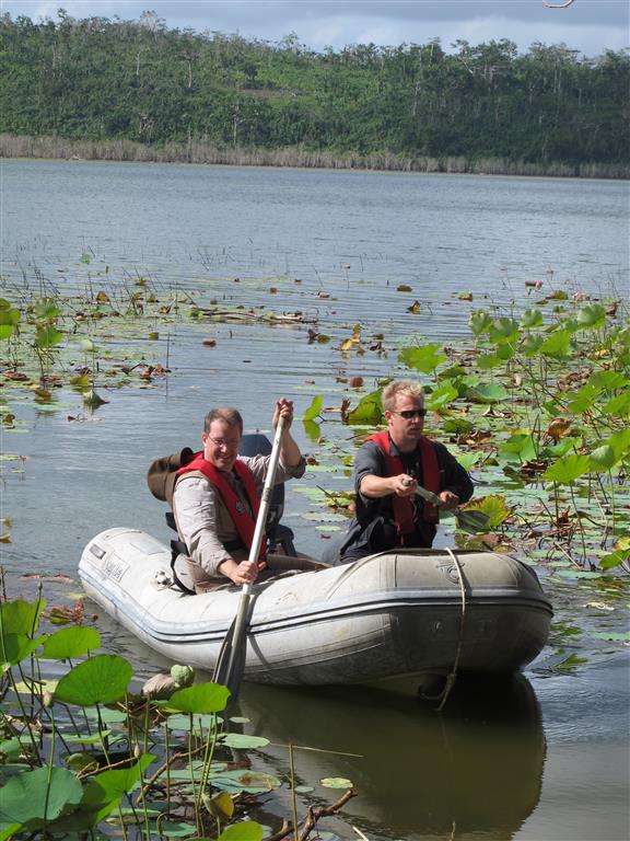
In October we visited the island nation of Vanuatu in the South Pacific, and the recent BBC coverage of the climate change conference in Paris reminded me to write a little about my experiences. My role on this trip was to provide technical support for the limnological investigation, specifically: the single-beam bathymetric surveyor, the water quality-profiler, and the coring equipment. I’ve written elsewhere about our experiences with the Lowrance bathymetric surveying system, and the YSI EXO-1 Sonde was fitted with depth, temperature, pH, DO and conductivity sensors for profiling. We took with us a UWITEC gravity corer and a GEOCORE rod-driven coring system to retrieve sediment sequences from the lake. This part of the work was successful and I look forward to writing more as we progress with this work.
I had the opportunity to spend time with staff from the Vanuatu Meteorological Office as well as the Ministry of Mines and Natural Resources, and I learnt a great deal about how climate and climate change is affecting those on the island. Having just recovered from the devastating Cyclone Pam in March 2015, the nation is now dealing with a drought caused directly by the strong el-Nino (ENSO) this year. Food crops that failed due to damage from Pam are now being affected by the drought, and emergency food distribution is already taking place in some areas due to malnutrition. Dehydration is also a problem for children and there is talk of evacuations in some areas.
The latest IPCC report on climate change makes clear that our understanding of the behaviour of the ENSO is not yet good enough to make robust predictions for what global climate change means for frequency and severity, although recent research suggests that extreme events will become more frequent in a warmer world. Combined with rising sea levels, and the constant risk of cyclone and volcanic eruptions, Vanuatu has been ranked highest in the UN World Risk Report for the last few years.
Palaeoclimatic reconstructions from sedimentary archives like lakes and peat bogs can help in establishing baseline conditions for e.g. rainfall or temperature over long periods of the past, giving perspective on current climate conditions and improving our understanding of process and our ability to predict future climate.